Air Aperture
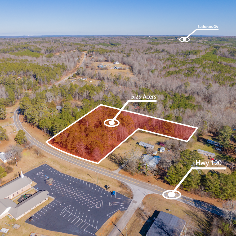
Sell Land Faster!
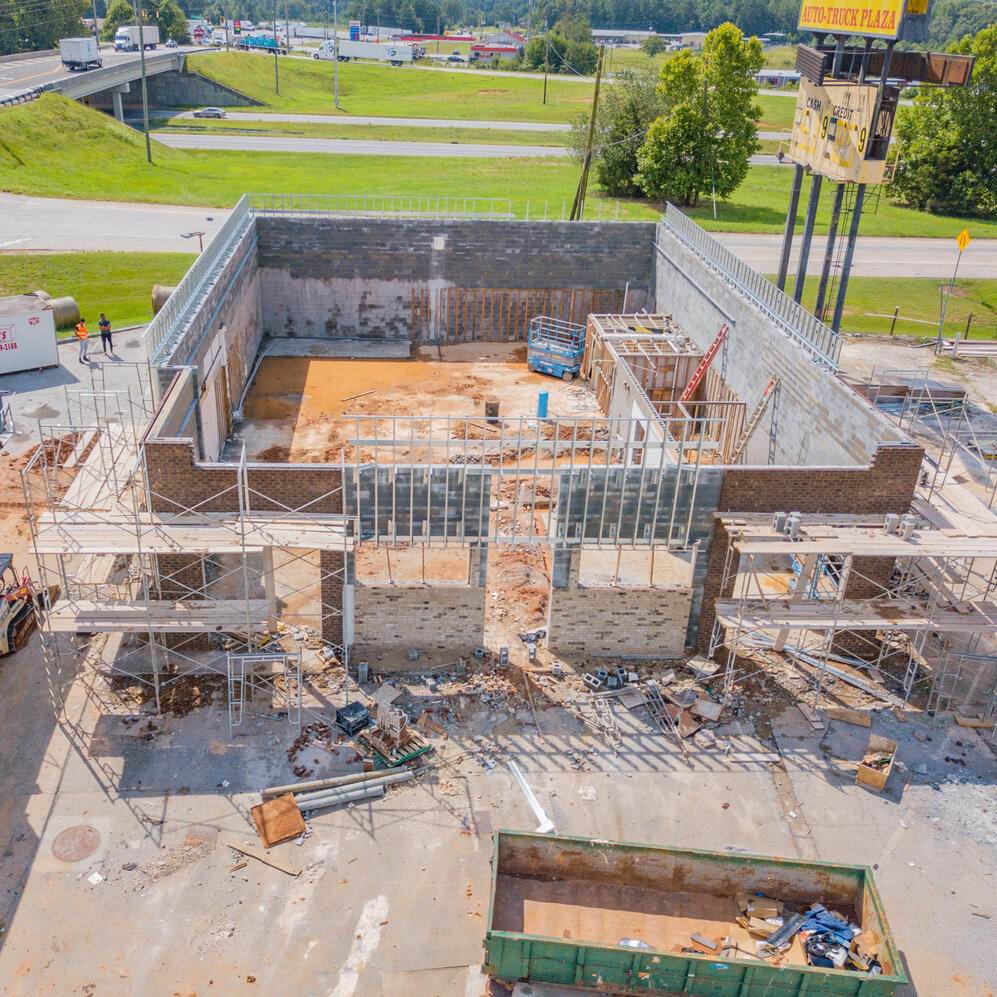
Showcase Progress Better!
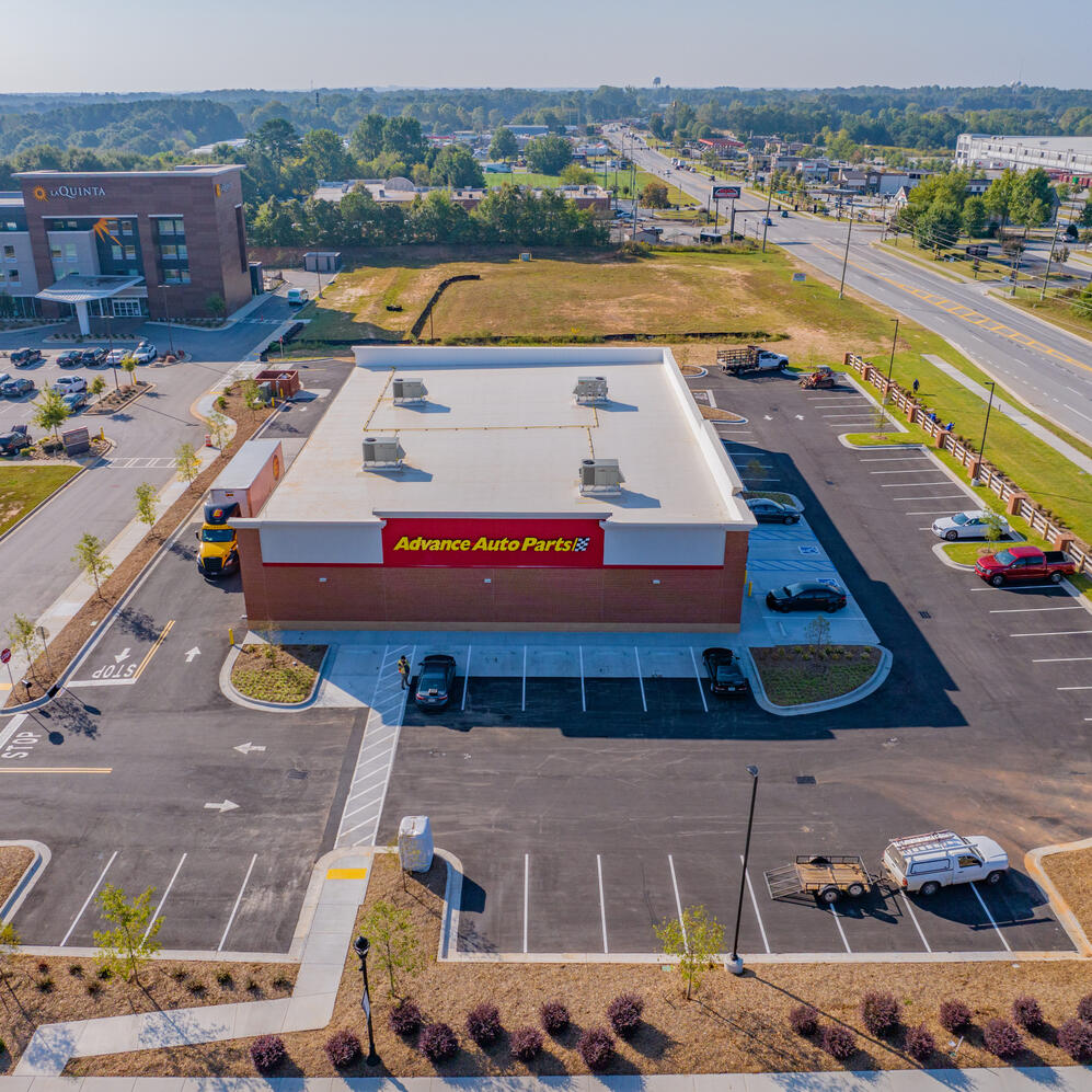
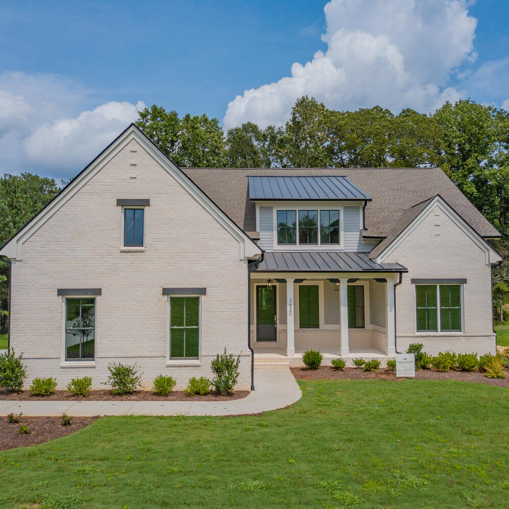
Drone photography for land investors and builders. High-quality images, video, and reports delivered fast.
Edited Video
60-second investor-ready marketing video
Investor Report
Branded PDF overview, ideal for sharing or listing
What Our Clients Say
It's a pleasure to share our phenomenal experience working with Seth, a virtuoso of drone photography. His superior work transformed our property into an artistic showcase, delivering captivating, detailed aerial photos promptly and efficiently. Seth's commitment goes beyond capturing incredible images. He catered precisely to our needs, making invaluable additional edits without a second thought. Remarkably, he extended his services to physically place 'For Sale' signs on our property – a testament to his customer-centric approach. Seth's blend of technical precision, creativity, and dedication set him apart. We eagerly anticipate future collaborations and can't recommend his services enough. With Seth, expect more than drone photography – expect an exceptional, personalized service. We couldn't be happier. Thank you, Seth! - Mike
In one word: Professional. Provides samples of previous work that matched what he did with our order. Even more impressed because pictures were taken not under the best weather and quality was excellent. Highly recommend! -
Melvin
Seth did a great job. Got all the photos I had on my list in the time he promised. He was easy to communicate with. I would definitely use him again. Thanks Seth. - Ed
Packages & Pricing
Real Estate Package
$269
- Drone + ground photos
- 60-sec video
- Investor-ready PDF
- Delivered in 72 hours
Add-ons
$50 | 3D terrain model
$75 | 48-hr delivery
$40 | Social media reel
Construction Update Package
$222 Flat Rate Single Visit
- Drone + ground photos
- 60-sec video
- Investor-ready PDF
- Delivered in 72 hours
Notes & Terms
Travel within 40 miles of Gainesville, GA is included
Additional mileage: $0.75/mile beyond 40mi radius
All packages include FAA-compliant, insured flight coverage
Custom contracts and W9 available upon request
Contact
If you have any questions or want to get a quote on a job, Please fill out the form below.
© Untitled. All rights reserved.


